PURPOSE
Leading Aerial Innovation through PixelsPioneers Tech
Our team at PixelsPioneers provides an expert technical perspective from the sky, specializing in complex site inspections. We leverage high-end drone sensors to analyze infrastructure and assets, delivering actionable data that helps businesses operate safer. Let us optimize your enterprise workflow.


SOLUTIONS
Advanced UAV software and hardware systems tailored for industrial site management.
THERMAL AERIAL ASSESSMENT
Pinpoint thermal anomalies using calibrated heat sensors to detect energy loss, solar cell defects, and critical system leaks.
3D MAPPING TECH
Construct high-precision topographic charts and digital twins for large-scale urban and site development needs.
CRITICAL ASSET SCANNING
Automate surveillance for routine security and integrity checks on tall facades, telecommunication towers, and refineries.


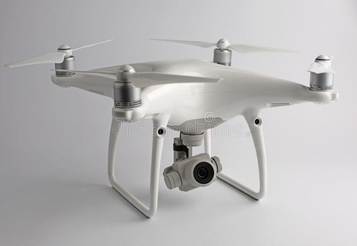

SYSTEM SPECS
Intelligent flight hardware meets expert data analysis.
With massive flight experience in high-risk industrial regions, PixelsPioneers delivers high-fidelity data where manual access is impossible. We adhere to Part 107 rules and local safety protocols to ensure every flight path meets strict global engineering and security requirements.

FLIGHTS
Live Fleet Metrics
980
GLOBAL UAVS
5
MISSIONS
240
IMAGERY
LiDAR
CLIENTS
Partner Log
PixelsPioneers has integrated with major energy firms, construction leaders, and civil agencies to revolutionize legacy asset management. We convert raw aerial telemetry into actionable intelligence that boosts safety and lowers operational overhead via comprehensive sensor fusion strategies.
INFRASTRUCTURE CO
ENERGY GROUP


TECH BUILDER
GRID SYS

